Geospatial Soltions
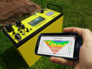
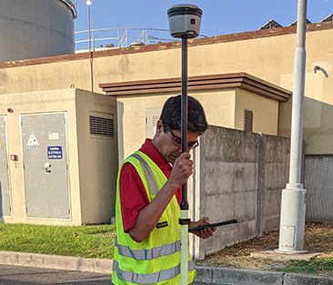
TMS uses the latest GIS software and tools to digitally capture critical data. Our diverse areas of specialization include LiDAR, AI, and Aerial technologies to provide comprehensive data intended to support our clients with decision-making resources.
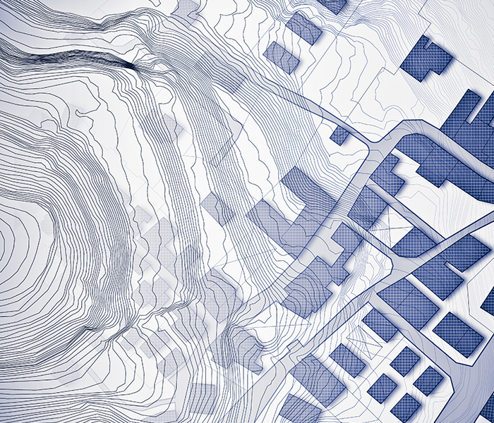
We leverage technology as a resource to bring together abstract ideas into reality. This can be seen through multiple lenses such as mapping. Where we once relied on basic information to form conclusions and make decisions about a place or a space, we now use advanced GIS tools to delve deeper and understand more. Our expertise allows us to leverage a holistic perspective of the world while also providing the precision to see even the smallest details. Through this approach, our team can provide a pathway to confident decision making and future planning. Our geospatial program includes enterprise level services, data acquisition, development, data services, geophysics, and analytic and decision support.
Company Details
- DUNS: 117180144
- CAGE Code: 8E8U2
- Primary NAICS: 562910 - Remediation Services
- Secondary NAICS: 541330 - Engineering Services
541360 - Geophysical Surveying and Mapping Services
541370 - Surveying and Mapping (except Geophysical) Services
541620 - Environmental Consulting Services
541690 - Other Scientific and Technical Consulting Services
541990 - All Other Professional, Scientific, and Technical Services
561210 - Facilities Support Services 
- SBA Certified 8(a)